Steamboat Rock
This is our second visit to this area
last year four of us climbed the rock, this year eight of
us climbed.
The area has been formed by a glacier dam that broke
loose and caused a huge amount of water to come
from Montana all the way to the ocean
It left behind these flat rocks
Steamboat Rock is surrounded by water
Banks Lake, this was made by Coulee Dam
In this first picture you can see a little bump on top
As you go Thur the pictures you will see all of us standing
against that rock. This picture was taken at the campground
were we stayed and started our hike from
If you look at this first picture you can see the bump
on top and just off to the right where you see the dark shadows
that is how you climb the Rock, stright up


Rich and Peggy

Gary and Skip coming up the trail

Skip needed a helping hand with his pants
what a good friend Gary was ♥

This is why you climb it !!!


Here we are on that bump in first pictures


Gary's first time to climb the Rock
He did Awesome!!! So proud of him
That is the camp ground down below


Rich, Peggy, Myself, and Kay

Rich, Gary, Me, Kay, Skip

Kenny, Raydeen, Kay and Skip

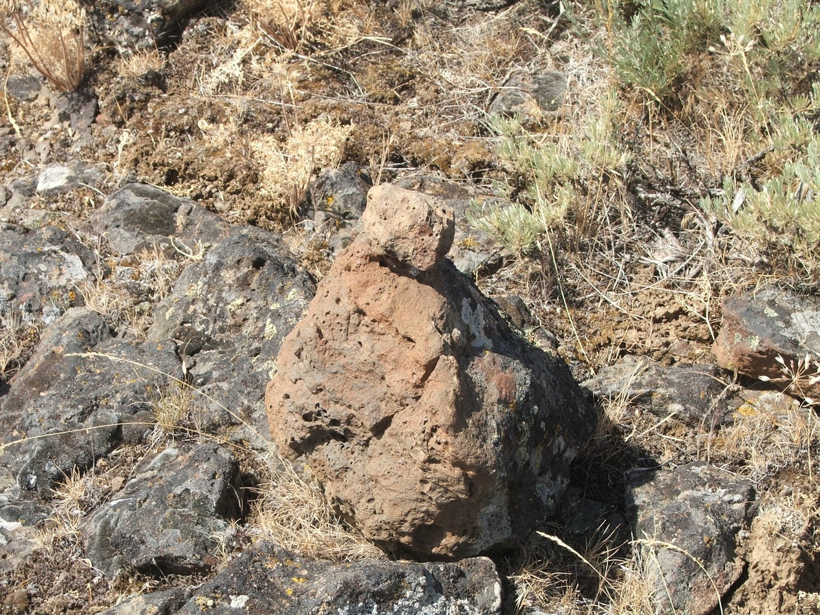
We made Carin's this is the Dahlke Carin

The Cannon Carin
Wild Flowers

This is West of Steamboat Rock down by Coulee City
It is called Dry Falls
If you look at the horizon, they say the water during
the flood would have been 300 feet about this land


This was the Sunset at camp the last night we were there
Really amazing place


No comments:
Post a Comment